

History HERE
IMAGES
PRESIDENT’S DAY
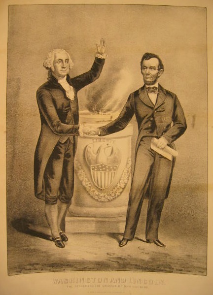
Today is President’s Day!
The 12th marks the birth of Abraham Lincoln (1809-1865)
The 22nd marks the birth of George Washington (1732-1799)
Happy Valentine‘s Day


Winter

Happy Thanksgiving
TODAY is ELECTION DAY!


REMEMBER 9/11

Honor Labor Day


Welcome Summer

SUMMER FLOWERS Edward Cucuel (1875 – 1954)

HAPPY FATHER’S DAY
CELEBRATE FLAG DAY

June 14 is Flag Day, an annual observance of the Second Continental Congress’ official adoption of the stars and stripes June 14, 1777. At the time, they “resolved that the flag of the 13 United States” be represented by 13 alternating red and white stripes and the union by 13 white stars in a blue field, “representing a new constellation.”
- Bernard J. Cigrand is considered the father of Flag Day. In 1885, as a young teacher at a high school in Waubeka, Wisconsin, Cigrand put a small flag on his desk and told his students to write essays about it. He fought for the rest of his life to formally establish the holiday, according to the National Flag Day Foundation.
- The flag has been changed 27 times. The final star, for Hawaii, was added in 1960.
- The first time the flag was flown after being adopted was on Aug. 3, 1777 in Rome, New York.
- The flag’s colors have become significant over time. The white is for purity, the red is for valor and the blue is for justice, according to usflag.org.
- President George Washington described the design like this: “We take the stars from heaven, the red from our mother country, separating it by white stripes, thus showing that we have separated from her, and the white stripes shall go down to posterity representing liberty.”
- The first flag was probably created by Francis Hopkinson, who signed the Declaration of Independence. He requested “a quarter cask of the public wine” as payment for his design. He was rejected.
- Betsy Ross sewed the first American flag according to a pattern, which was likely Hopkinson’s. Legend has it she changed the six-point stars he’d drawn to five-point ones because they were easier to stitch.
- Sea captain William Driver gave the flag its “Old Glory” nickname in 1831, according to usacitylink.com.
- The current design of the U.S. flag was created by Robert G. Heft, who made the pattern for a high school project. He earned a B- at first, but when the government chose it, his teacher raised the grade to an A.
- There are six American flags on the moon. Five are standing, and Neil Armstrong’s fell over!

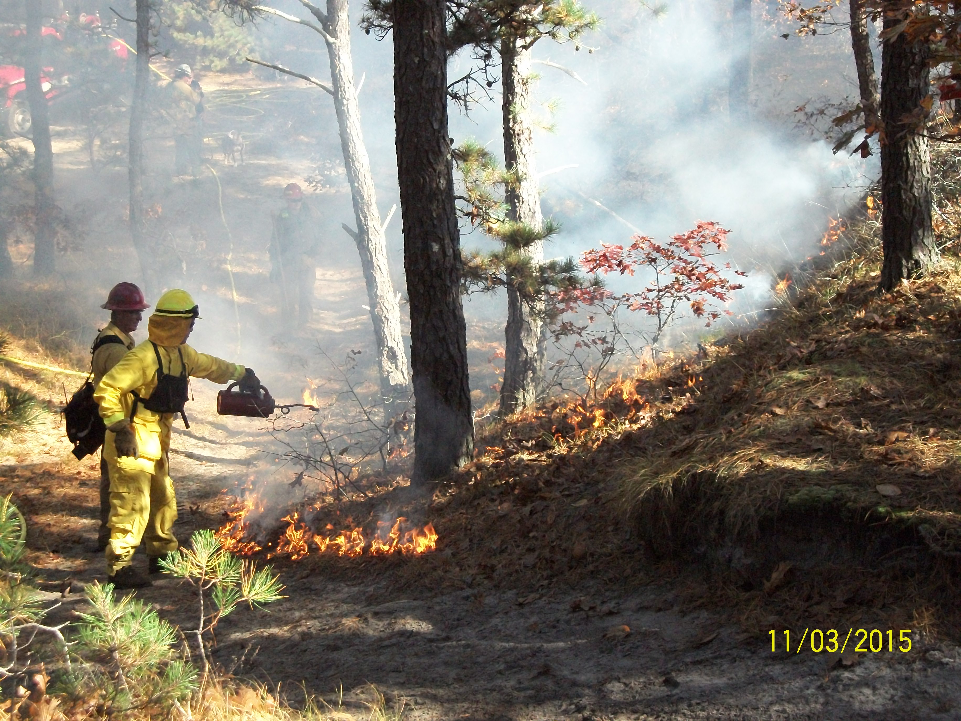
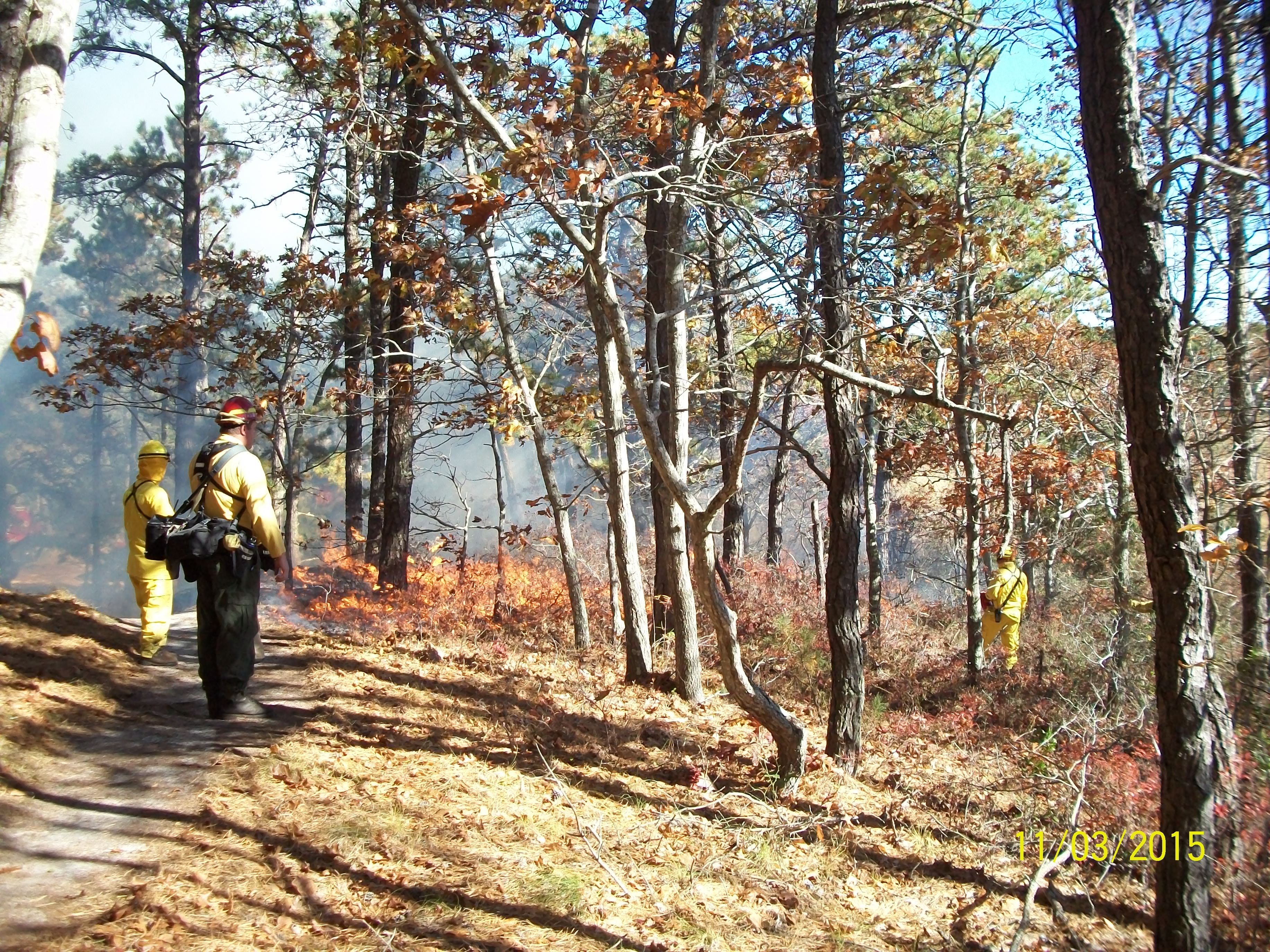
Crocker Neck Prescribed Burn
UPDATE: 6/14/18 Due to weather conditions the burn has been cancelled.
UPDATE: 6/12/18 The prescribed burn at Crocker Neck is now scheduled for Thursday or Friday June 14 or 15, weather dependent. The Fire Department will issue a phone notification if given the green light.
UPDATE: 4/27/18 The prescribed burn at Crocker Neck is on hold until late May, to prevent unnecessary damage to oak trees. Once the leaves are out, they will be less susceptible to damage from a low slow burn. This cold spring and wet year have played havoc on burn schedules.
Check back for Updates!
The Barnstable Conservation Division has contracted with Northeast Forest and Fire Management LLC to conduct another prescribed burn in the Crocker Neck Conservation Area of Cotuit. They will be focusing on Subunits B & D. See map of Subunits Here. Depending on weather conditions, it is scheduled for Monday April 23, 2018. If it is a go a phone notification will be issued by the Cotuit Fire Department to nearby residents.
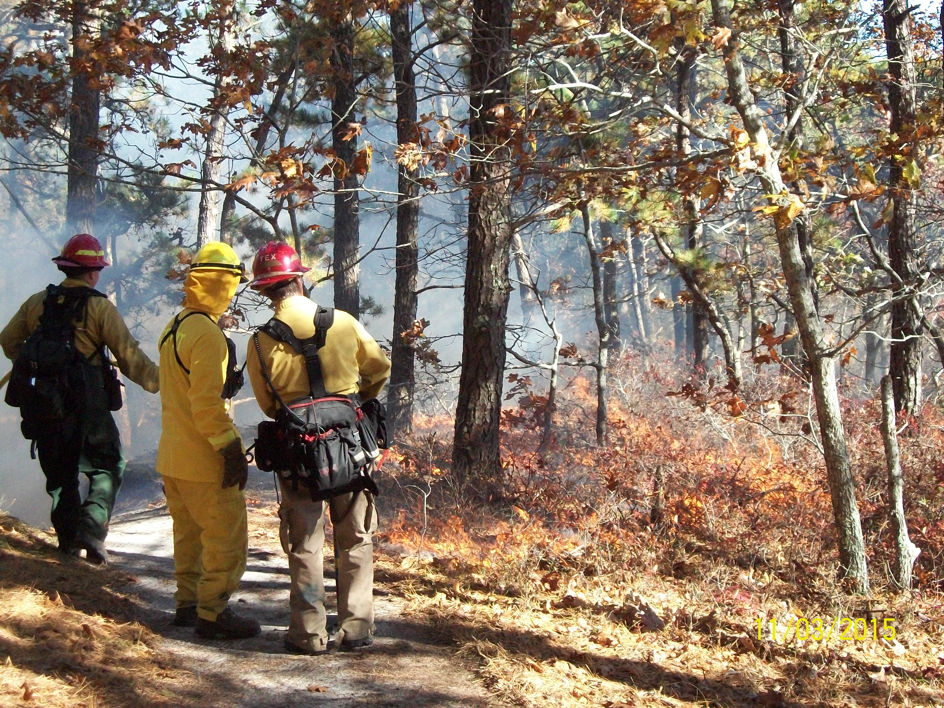
More Information HERE
MEMORIAL DAY 2018
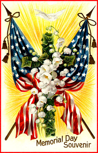
Today is the day we formally express our thanks, with gratitude and in remembrance, of the men and women having selflessly given their lives, honoring us, and the freedoms won. If we fail to remember and honor these brave men and women, we’re likely to forget their great sacrifices; let us not forget.

Happy May Day

Happy Earth Day
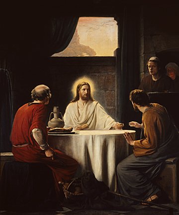
Easter Greetings


BAAAAA
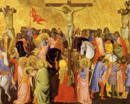
Agnolo Gaddi, c. 1360
Welcome Spring

Currier & Ives (American) American Homestead Spring, 1868-1869. Hand-colored lithograph on wove paper. Brooklyn Museum
Happy St. Patrick’s Day


DAYLIGHT SAVINGS BEGINS TODAY

History HERE
2018 Barnstable Town Council

2018 TOWN COUNCIL
Standing: James Tinsley, Precinct 9; Paul Hebert, Precinct 3; Paul Neary, Precinct 4; Phillip Wallace, Precinct 11; Paula Schnepp, Precinct 12; Matt Levesque, Precinct 10; John Flores, Precinct 1 Seated: Britt Beedenbender, Precinct 6; Jessica Rapp Grassetti, Precinct 7; Council President Eric R. Steinhilber, Precinct 2; Council Vice President James Crocker, Precinct 5; Jennifer Cullum, Precinct 13; Debra Dagwan, Precinct 8

Happy & Healthy New Year


Winter
BOO!


The ‘Pinta’, the ‘Nina’ and the ‘Santa Maria’ sailing towards the West Indies in 1492, from The Discovery of America, 1878, Spanish School; Private Collection

Mashpee Wampanoag 1929 L. Jones collection, Boston Library

Honor Labor Day
Enjoy the Fruits of Labor

ME

CELEBRATE FLAG DAY
Cotuit Weather & Tides
Cotuit Weather Forecast HERE
Cotuit Weather Radar HERE

Cotuit Tides HERE

View Cotuit Town Dock Webcam HERE
If you notice a camera appears to not be working please let the Town know at: moorings@town.barnstable.ma.us
If you observe suspicious activity please contact the Barnstable Police Department 24/7 (508-775-0387) or the Harbormaster’s Office, Monday – Friday (508-790-6273).
Happy Earth Day

Peace
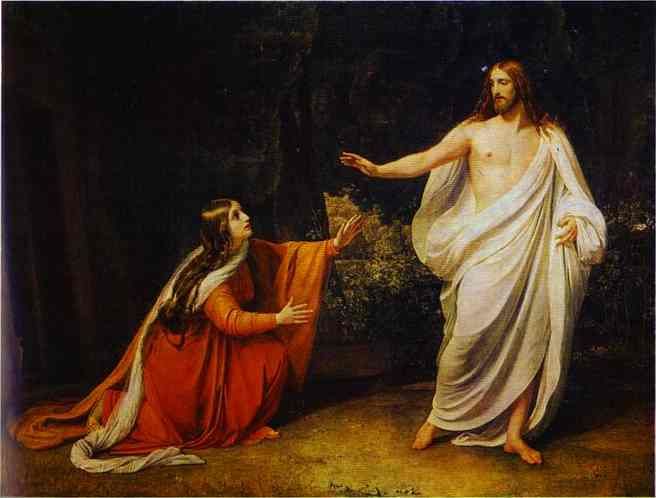
A Joyful Easter


PRESIDENT’S DAY
Today is President’s Day!
The 12th marks the birth of Abraham Lincoln (1809-1865)
The 22nd marks the birth of George Washington (1732-1799)

Crocker Neck Prescribed Burn
The Barnstable Conservation Division has contracted with Northeast Forest and Fire Management LLC to conduct another prescribed burn in the Crocker Neck Conservation Area. Depending on the weather, it will be scheduled within the next month or put off to early spring 2017. Stay tuned for scheduled date.
It looks like they did almost half of sub-unit C (northern end) and a bit of the northern end of sub-unit B last year.
See Map of Crocker Neck Subunits Here
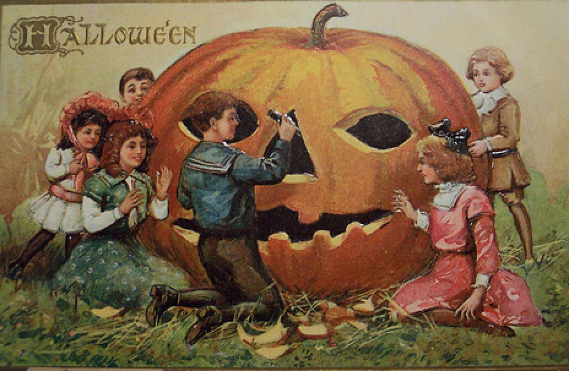
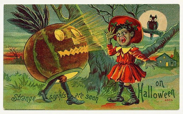
Happy Halloween
Columbus Day
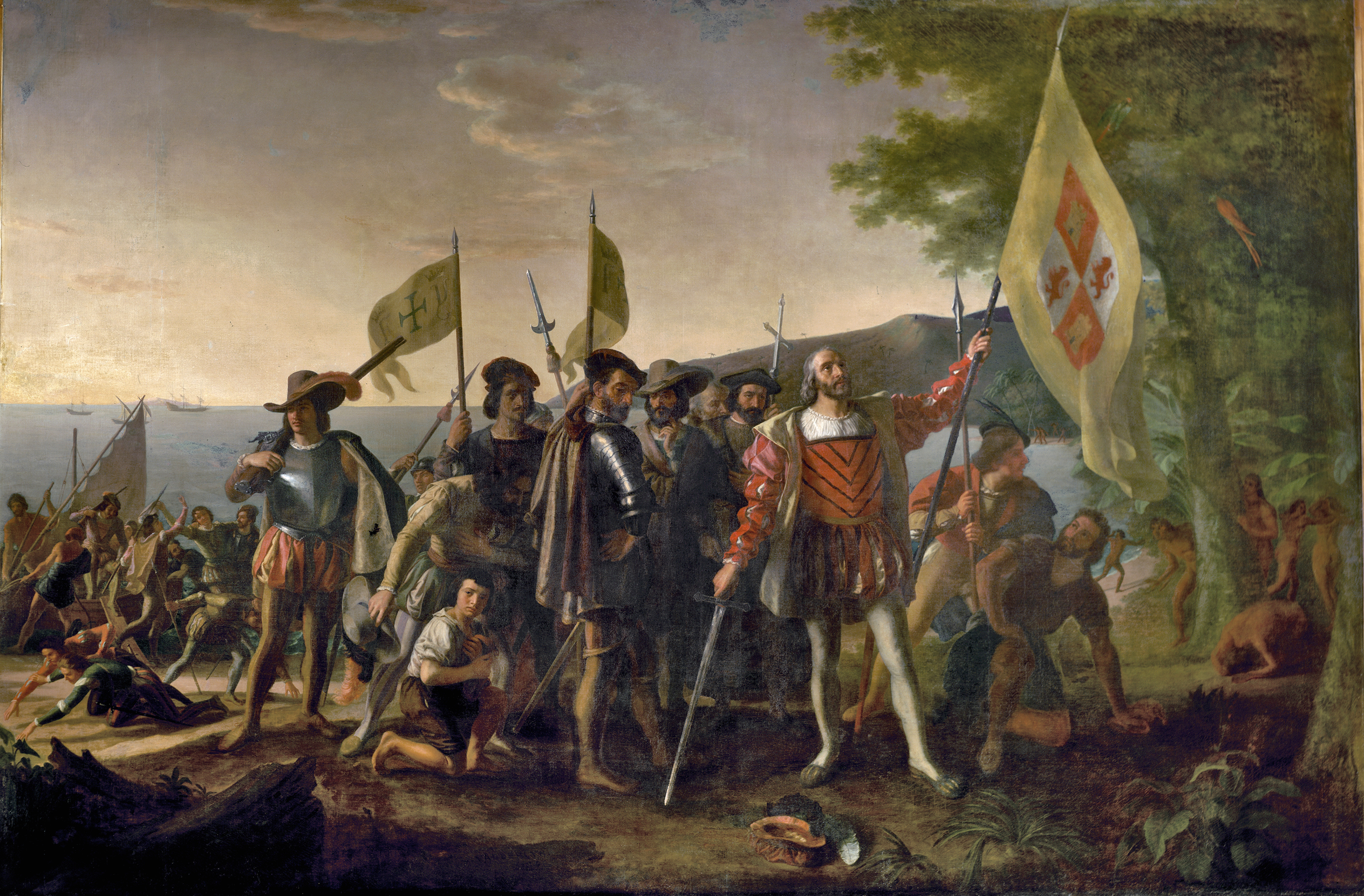
This painting depicts Christopher Columbus and members of his crew on a beach in the West Indies,
newly landed from his flagship Santa Maria on October 12, 1492
Painted by John Vanderlyn
Oil on canvas 12′ x 18′, 1846
placed in 1847 Rotunda U.S. Capitol
New Exhibition at Cahoon Museum
 Jennifer Jean Costello, (Nature 6) Papaver, oil on canvas
October 5 – November 20, 2016
Botanica
Exhibition of art inspired by botany, horticulture, and nature featuring artists from the National Association of Women Artists, Massachusetts Chapter. Botanica includes 47 works of art by 24 artists in a range of mediums such as drawing, painting, and sculpture. A free public reception with the artists will be held on Friday, October 7 from 5:30 to 7:00pm at the Cahoon Museum, 4676 Falmouth Road in Cotuit.

You must be logged in to post a comment.